Full-Service Forestry GIS Management/Applications and GPS
We have the knowledge and resources to help with all your mapping and data needs. Iverson Forest Management uses the latest software for all of our GIS projects & we have a wide range of capabilities to suit your needs. Everything from Road design and layout to complete forestry planning and mapping, environmental mapping, and Urban forest planning. We also have the ability to create custom applications, geodatabases, and maintain your spatial data.
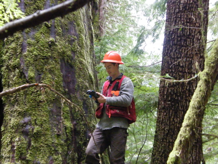
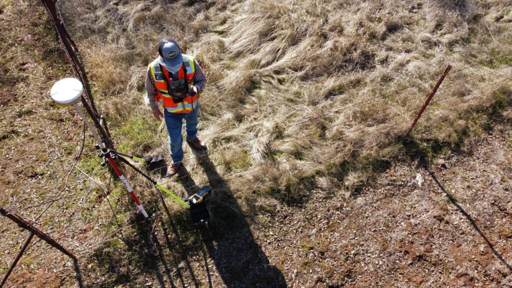
As a RISC certified GPS contractor, we are able to meet the exacting standards required for GPS submissions to the BC Ministry of Forests. Our GPS system is fully integrated with our GIS department which can increase accuracy for your GIS projects and get it done right, the first time.
Geospatial Services in Action
Our staff puts your project first and you can rely on our team for high-quality, dependable information to help you make the best possible decisions.


Current Openings